Megaliths at St Jean Brévelay
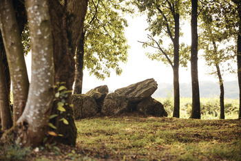
The covered alley of Roh-Koh-Koët
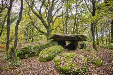
At the locality Moustoir, the Roh-Koh-Koët dolmen located in undergrowth is at the end of a ruined path. Facing north-west, it is closed with three rocks and has a 6 meters long table.
GPS location : N47.81637 W2.74399
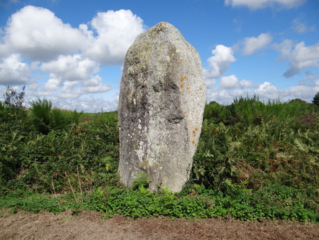
Goh Menhir or Goeh Menhir
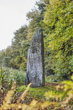
Goe Menhir is reachable on foot from the previous megalith. It is the highest of the township with 6 meters high. Its name reminds a damp place.
GPS location : N47.81195 W2.74617
Colého menhir
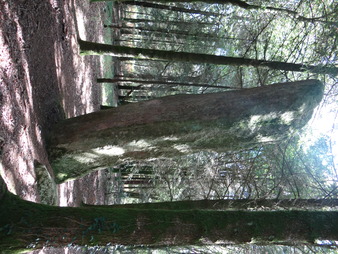
The Cohélo menhir, a little hard to find because not marked, deserved the effort for its discovery… Its almost 6 meters high give it a great look. It has cups on its south face.
GPS location : N47.79928 W2.75042
Kerdramel or Kerarmel menhir
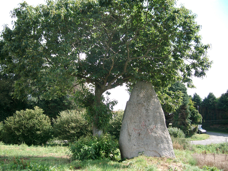
This amazing triangular menhir is nearly 5 meters high. It is visible at the edge of the field, under a tree.
GPS location : N47.82169 W2.73089
Lann Douar menhir
This menhir, with its height of 4.5 meters, is a vestige of the occupation of the territories by the first Neolithic farmers and breeders.
GPS location: N47.82860 W-2.74577