Megaliths at Moustoir-Ac
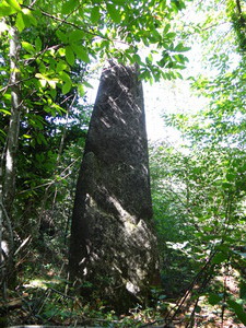
Kermarquer menhir
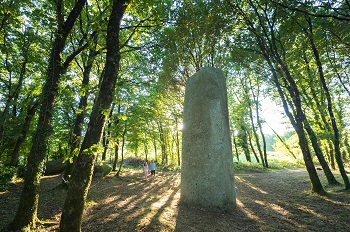
The Kermarquer menhir shows marks of ancient engravings dated from the Neolithic. With 6.72 meters high it is the highest of the Morbihan ! Listed Historic Monument, you can easily reach it by the road. Take a closer look at it once you see it and you will find 7 crosses on the granite’s surface. The Men-bras-de-Kermarquer is also linked to it. It is a small 1.80 meters high menhir, currently in a stream below.
GPS location : N47.82479 W2.85879.
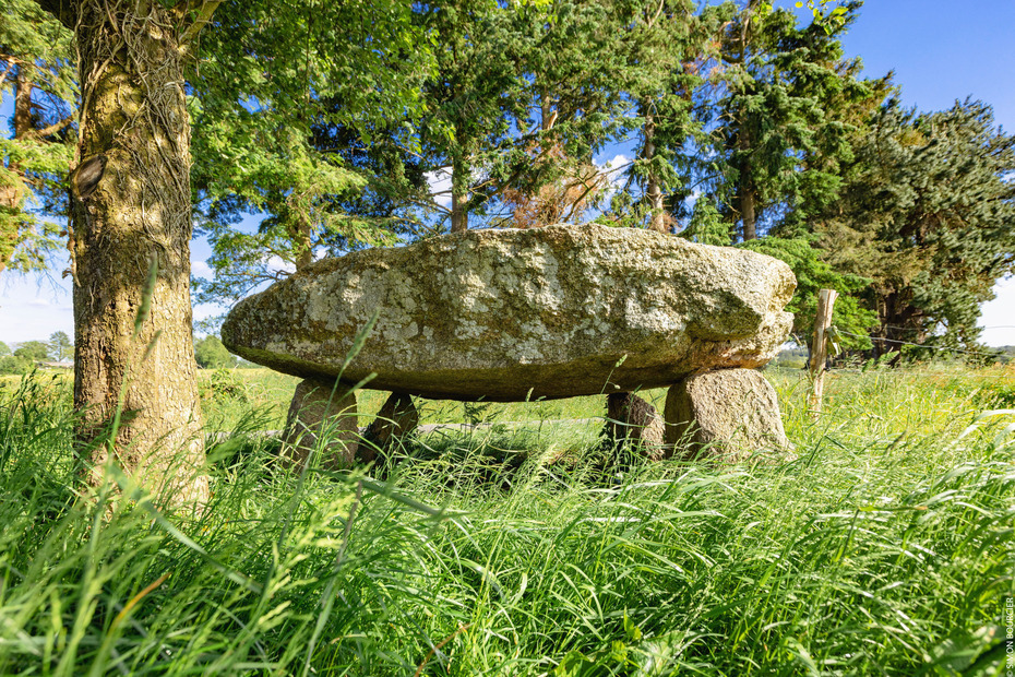
Kerara menhir
It is a 3.85 meters high menhir, where other stones lie behind it, some pierced with ornamental lakes. It is also listed historic monument and easily reachable by the road.
GPS location : N47.82281 W2.85661
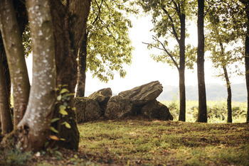
Kermorvant dolmen
It lies on four supports and might have been a « corridor » dolmen. It is a collective burial. Listed historic monument, visible from the road, it is easily reachable as well.
GPS location : N47.84874 W2.85878
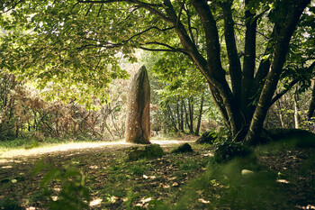
Cosquéro-Boisker menhir
This very large menhir, 6.60 meters high, is known under two names: the Cosquéro menhir or the Boisker menhir. Come closer and you may be able to observe several engravings on one of its faces, even if they are difficult to see and interpret today.
GPS location: N47.8273, W-2.8807
Click here to find out more about the Cosquéro-Boisker menhir !